What Do the Pillars at Göbeklitepe Symbolize? Decoding Animal Carvings
What Do the Pillars at Göbeklitepe Symbolize? Decoding Animal Carvings
You might think you know where Göbeklitepe is. You might even have it pinned on your mental map of Turkey. But the truth is slightly different. The site sits on a hilltop in Şanlıurfa Province, southeastern Turkey. It is not right on the main highway. It is not in the city center. Getting there actually takes a bit of effort. Most visitors come from Şanlıurfa city, which is about 15 kilometers away.
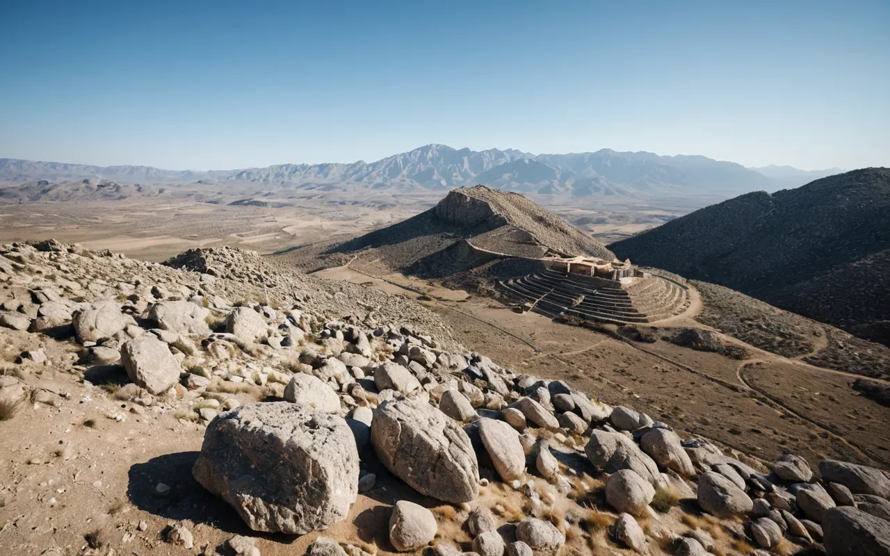
I've noticed that many travel guides give vague directions. They just say "southeastern Turkey." That is too broad. The exact coordinates are 37°13′N 38°53′E. It is nestled in the foothills of the Taurus Mountains. The landscape around it is arid and rocky. There is not much greenery. You really have to look for it. And honestly, that isolation is part of its power. The builders chose this specific spot for a reason. It was visible from miles away. It stood out against the flat plains below.
Why the Location Changes Everything We Know
Here's the thing. Most people assume big buildings came after farming. We think humans had to settle down, grow wheat, and build cities before they could erect massive stone circles. Göbeklitepe completely flips that script. It was built around 9500 BC. Farming didn't really take off until thousands of years later. So why is this huge complex sitting there? The location tells us the builders didn't need farms to organize. They didn't need walls. They just needed belief.
This challenges every textbook you ever read. I remember studying the "standard narrative" in college. It always went hunter-gatherers, then farming, then cities, then temples. Göbeklitepe breaks that chain. It shows temples came first. The effort to move those giant T-shaped pillars required massive coordination. You need hundreds of people working together. You need leaders to direct them. But there are no signs of a wealthy elite. No palaces. No obvious kings. Just the stones.
The Landscape Was a Deliberate Choice
The builders picked this hill for a reason. It overlooks the Euphrates River valley to the west. To the east, it faces the rugged mountains. It is a perfect vantage point. You can see everything coming. And you can see the sky clearly. Some researchers think the pillars align with celestial events. The location isn't random. It is carefully placed to interact with the natural world. Think about how hard it was to transport stone up there. They didn't have wheels. They didn't have metal tools. They used wood, antlers, and sheer muscle.
So when you ask "where is Göbeklitepe," you are really asking about a strategic decision made 12,000 years ago. It was a meeting place. A sacred hub. People traveled from all over the region to gather here. They brought meat, tools, and ideas. The location acted as a magnet. It pulled scattered groups together. And that gathering might have sparked the invention of farming. If you want to understand the early roots of human belief, this analysis of how early architecture shaped society is a great starting point.
How to Find It Today Without Getting Lost
If you are planning a trip, you need precise info. Google Maps can be unreliable in rural Turkey. Road signs are often missing or faded. The site is near the village of Örencik. But Örencik itself is tiny. Most tourists fly into Gaziantep or Adana and drive up. The drive from Şanlıurfa city takes about 20 minutes. The road is paved but narrow. There are no hotels nearby. You have to stay in the city and make a day trip. I always recommend going early. The heat in the summer is brutal. By 10 AM, the sun is intense.
Be prepared for crowds. The site has become incredibly popular. In 2023 alone, millions of people visited. The ticket office gets long lines. There is no shade. Bring water. Bring a hat. The museum at the entrance is small but informative. It shows off the carvings found on the stones. Birds, snakes, spiders. The detail is shocking. These people were artists. They were engineers. They were astronomers. And they did it all without writing. Without metal. Without wheels. It is humbling to stand there.
The Nearby Sites You Should Not Ignore
Göbeklitepe is not alone. There are dozens of similar sites in the region. Karahan Tepe is just 20 kilometers away. It is even more remote. The ruins are less excavated. The atmosphere is wilder. I found it more peaceful. There are no paved paths. You walk right among the stones. It feels like stepping back in time. If you are curious about the relationship between these nearby ancient structures, the evidence suggests a network of sacred places. They were all connected. They served the same purpose.
Then there is Nevalı Çori. It was destroyed by a reservoir in the 1990s. But the artifacts saved from there helped us understand Göbeklitepe. The T-shaped pillars look identical. The carvings are similar. It proves this wasn't a one-off event. It was a widespread culture. A shared belief system. The location of Göbeklitepe was just the biggest node in a massive network. When you look at the map, you see dots all over southeastern Anatolia. They form a pattern. A sacred geography. And we are only beginning to read it.
The Mystery of the Builders and Their Tools
Who actually built this place? That is the real question. The location is clear. The builders are not. There are no houses nearby. No trash piles. No graves. It looks like a pure ritual site. The people must have come from far away. They camped nearby. They worked. Then they left. Seasonal gatherings seem likely. Maybe during hunting seasons. Maybe during religious festivals. The lack of permanent settlement is strange. Usually, big buildings mean big populations living right next door. Not here. It is an anomaly.
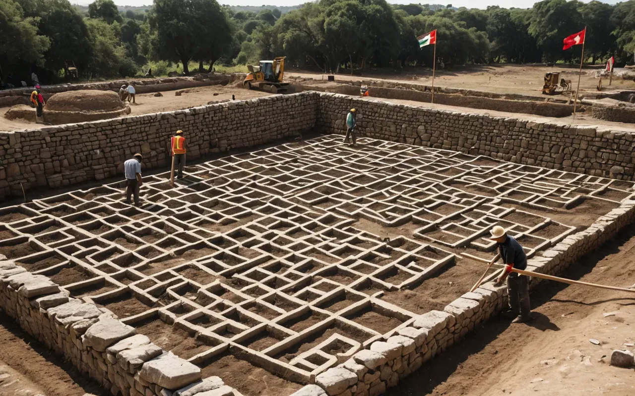
And the tools? They used stone hammers. They used fire to crack the rock. Thermal shock is a clever technique. You heat the stone, then splash it with cold water. It fractures. It is slow. It is hard. But it works. The precision of the carvings is amazing. A vulture's wing. A fox's tail. The details are sharp. It takes skill to carve soft limestone like that. These people were not primitive. They were highly organized. They had specialized craftsmen. They had leaders who could command respect. But who were they? We still don't know.
The Symbolism Hidden in the Stones
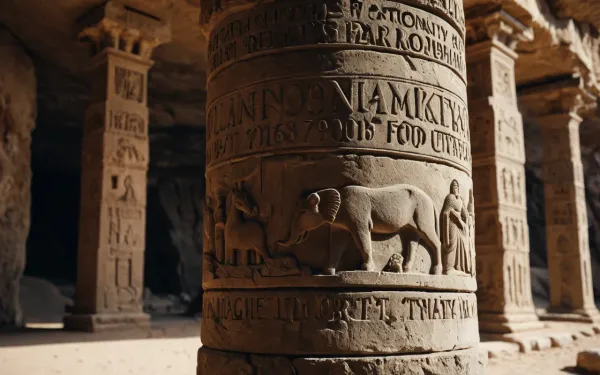
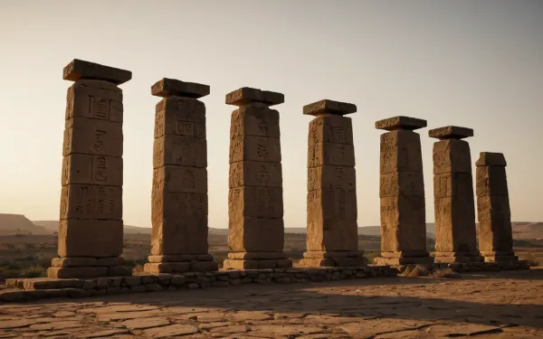
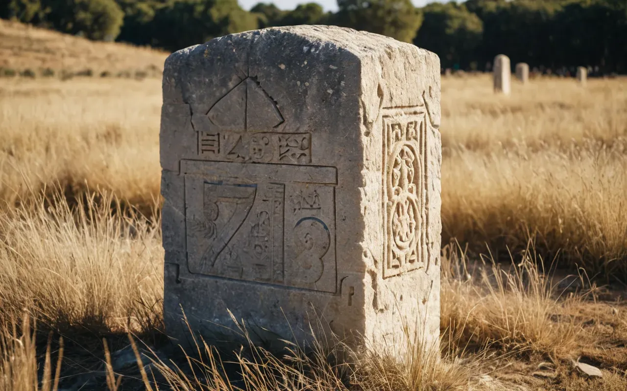
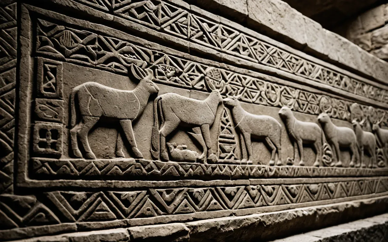
The T-shapes are thought to represent humans. Some say they are women. Others say they are abstract symbols. The carvings show animals. Scorpions. Cranes. Boars. These are local fauna. They ground the site in its environment. But there are also strange abstract signs. Dots. Lines. Circles. No one knows what they mean. It is a language we cannot read. The location of these carvings matters too. They are placed at eye level. They are meant to be seen. They are not hidden in the dirt. They are part of the experience. You walk through the circle. You look up. You see the sky. You see the animals. It is immersive.
I think we underestimate the power of place. The location of Göbeklitepe was chosen to amplify the ritual. The height. The visibility. The isolation. It all mattered. It created a sense of awe. And awe builds community. When people share a powerful experience, they bond. They trust each other. They cooperate. That cooperation might have been the seed of civilization. Not farming. Not walls. But shared belief in a sacred place. If you want to dig deeper into the surprising truth about these ancient symbols, you will see how they challenge our modern assumptions.
Why the Date Matters More Than You Think
The location is fixed. The date is not. Radiocarbon dating puts the oldest layers at 9500 BC. That is 11,500 years ago. Stonehenge is 5,000 years old. The Pyramids are 4,500 years old. Göbeklitepe is twice as old as Stonehenge. It is three times as old as the Pyramids. This blows the timeline out of the water. We used to think the Neolithic Revolution was a slow, gradual process. It wasn't. It was sudden. It was dramatic. And it started here. In this specific spot in Turkey.
So why does the age matter? Because it changes the cause-and-effect. We thought farming caused complexity. Göbeklitepe says complexity caused farming. You need to feed the workers. You need to feed the pilgrims. So you domesticate plants. You settle down. You store grain. Farming was a solution to a problem. The problem was the temple. The temple came first. This is a huge shift. It means religion or ritual was the driver of history. Not technology. Not agriculture. Belief. And that belief was anchored in this specific location.
The Controversy Among Experts
Not everyone agrees. Some archaeologists think the dating is too old. They think the site is younger. They point to the lack of pottery. The lack of metal. It looks too advanced for its time. But the carbon dates are solid. The stratigraphy is clear. The lower layers are definitely older. The upper layers are younger. It shows a long history of use. Thousands of years of activity. The location was maintained. It was renovated. It was buried intentionally. The builders filled the circles with rubble when they were done. They buried their sacred place. Why? Maybe to preserve it. Maybe to end an era.
The burial is interesting. It protected the stones. Without it, the site would be gone. Weathering would have destroyed it. The rubble acted as a blanket. It kept the carvings intact. It kept the structure stable. When Clive Schmidt first excavated in the 1990s, he found the stones still standing. They were upright. It was a miracle. The location of the discovery was pure luck. A shepherd was trying to break a stone for fertilizer. He heard a clink. Metal inside. He called the authorities. That call changed history. The story of that initial discovery is almost as wild as the site itself.
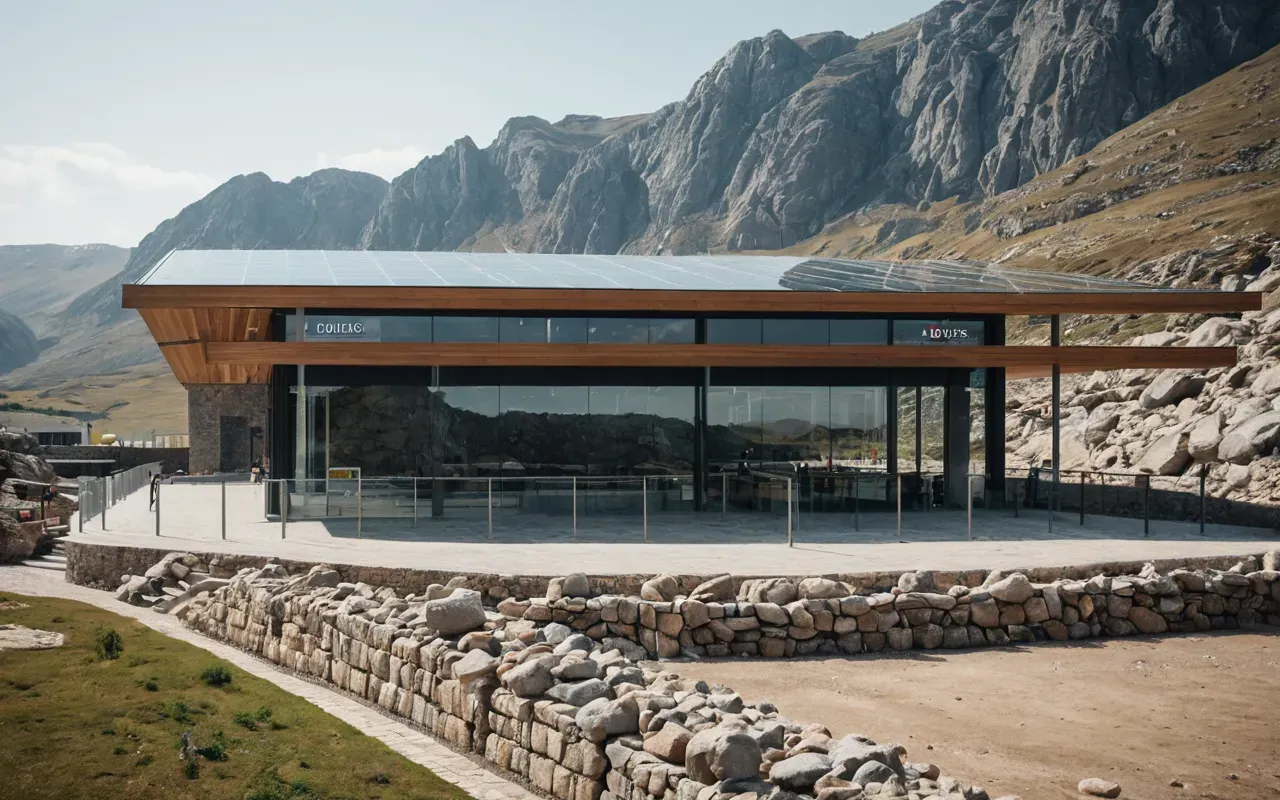
What the Future Holds for This Sacred Site
The site is still being dug. Only 5% is excavated. The rest is still under the hill. What else is down there? More circles? More pillars? Different styles? We don't know. The location holds secrets. New technology helps. Ground-penetrating radar maps the underground. It shows walls. It shows pits. It shows structures we cannot see yet. The work is slow. It is careful. They want to preserve it. They don't want to destroy what they are trying to save. It is a delicate balance. The location is fragile. The climate is harsh. The sun is hot. The wind is dry. It erodes the stone.
Tourism is growing fast. That is good for the local economy. But it is bad for the site. Foot traffic wears down the paths. Trash is a problem. Noise is a problem. The sacred silence is gone. I miss the quiet. I remember when it was just me and the stones. Now there are tour buses. There are selfie sticks. It is a different world. But the stones remain. They are still there. Still standing. Still watching. They have seen 12,000 years. They can handle a few tourists. The location is permanent. The mystery is permanent. And we are still just scratching the surface.
The Final Piece of the Puzzle
We will never know everything. The builders are gone. Their names are lost. Their voices are silent. But their stones speak. They tell a story of ambition. Of faith. Of cooperation. They tell us that humans are capable of great things. Even without tools. Even without cities. The location of Göbeklitepe is more than a dot on a map. It is a statement. It says we started here. It says we started with belief. And that is a powerful idea. It changes how we see ourselves. It changes how we see our past. And it all starts with one simple question. Where is it? Now you know.
Frequently Asked Questions
Where exactly is Göbeklitepe located on a map?
Göbeklitepe is located in Şanlıurfa Province in southeastern Turkey, approximately 15 kilometers northeast of the city of Şanlıurfa. It sits on a hilltop at coordinates 37°13′N 38°53′E. The site is easily accessible by car from the city, taking about 20 minutes via a paved road. It is not located in a remote wilderness area, but rather near a populated region with modern infrastructure nearby.
How old is the Göbeklitepe site compared to other monuments?
Göbeklitepe is approximately 11,500 years old, with construction starting around 9500 BC. This makes it significantly older than Stonehenge (about 5,000 years old) and the Egyptian Pyramids (about 4,500 years old). It is the oldest known megalithic structure in the world, predating other major ancient monuments by thousands of years. Its age challenges traditional timelines of human civilization development.
Why was this specific location chosen for the site?
The location was likely chosen for its visibility and strategic vantage point. The hilltop overlooks the Euphrates River valley and the Taurus Mountains, making it visible from miles away. It served as a gathering place for hunter-gatherer groups from across the region. The open sky and clear sightlines may have also supported astronomical observations or ritual activities related to celestial events.
Can visitors see the entire site today?
No, only about 5% of Göbeklitepe has been excavated. The rest remains buried under the hill to protect it from weathering and damage. Visitors can see several large stone circles and some smaller structures, but the full extent of the site is hidden. Archaeologists use ground-penetrating radar to map the unexcavated areas, revealing more walls and pits underground without digging them up.
For the full overview, see Göbeklitepe archaeological significance.