Why Is Göbeklitepe Older Than Stonehenge and Other Monuments?
Why Is Göbeklitepe Older Than Stonehenge and Other Monuments?
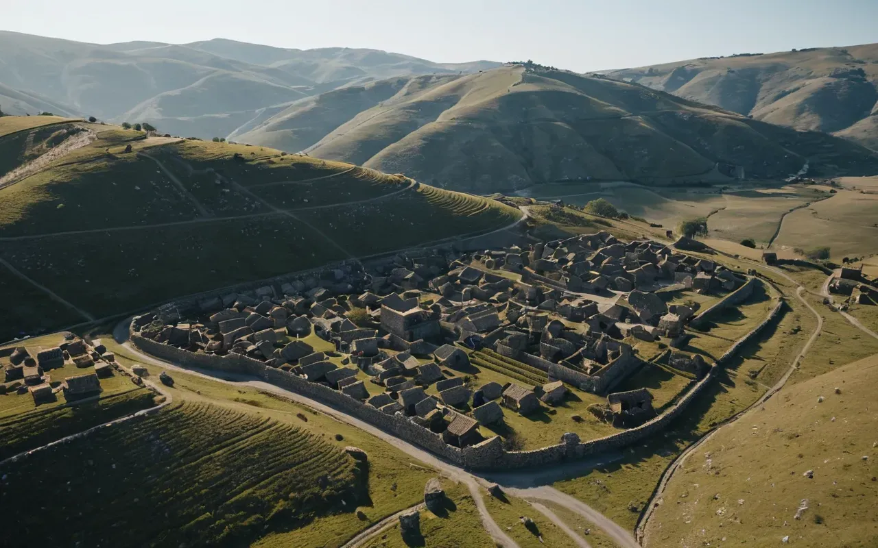
You might be wondering exactly where this massive ancient site sits. It is located in southeastern Turkey, just north of the city of Şanlıurfa. The site sits on a hilltop that rises about 15 meters above the surrounding plains. It is not hidden in a dense jungle or buried under a desert dune. The location is surprisingly accessible, yet it remains shrouded in mystery.
Many travelers assume it is easy to find on any map. It is not always obvious. The coordinates are roughly 37.22° N, 38.92° E. If you are driving from the city center, the journey takes about 15 minutes. The road winds through modern villages and fields of wheat and barley. You will see olive trees and fig trees lining the path. The landscape is dry and rugged, typical of the region.
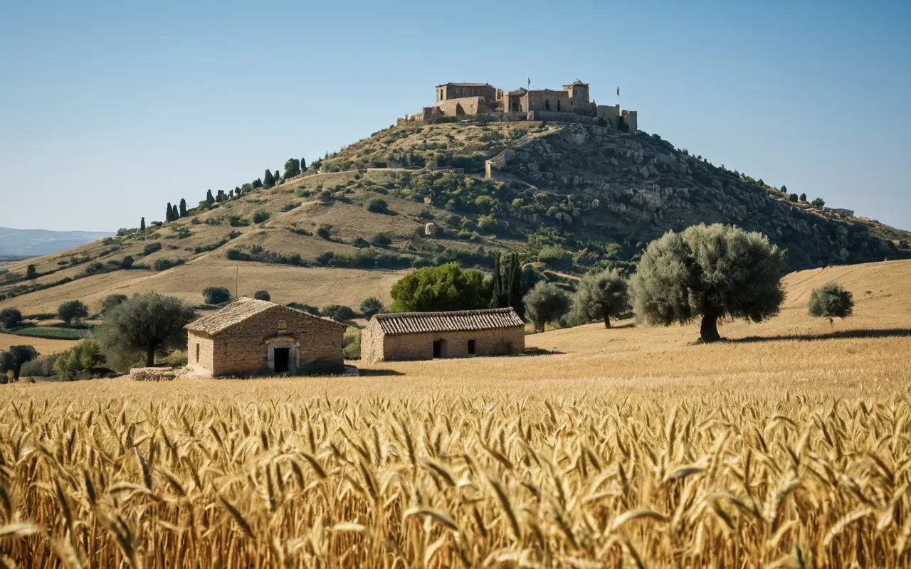
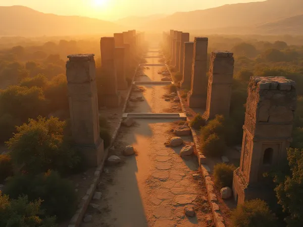
The site itself covers about 11 hectares. That is roughly 27 acres. It is a large area to explore on foot. Visitors walk along designated paths between the stone circles. The T-shaped pillars stand tall against the sky. Some pillars are over 5 meters high. They weigh up to 50 tons. How did people move such heavy stones 12,000 years ago? That question haunts every visitor.
Why The Location Is So Surprising
Archaeologists used to think complex societies needed farms first. They believed agriculture led to cities, which then led to temples. Göbekli Tepe flips that idea upside down. This place was built by hunter-gatherers. They had no farms, no pottery, and no metal tools. Yet they built this massive stone complex. It challenges everything we thought we knew about human progress.
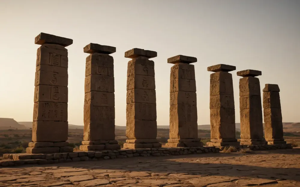
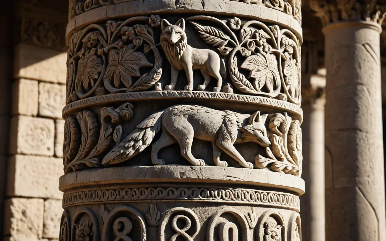
The location is on a natural limestone plateau. The builders had access to stone right where they stood. They did not need to transport material from far away. That made construction easier, but it does not explain the skill involved. The carvings on the pillars are intricate. Foxes, cranes, vultures, and scorpions are carved into the stone. The art is detailed and expressive. It shows a deep understanding of the natural world.
What The Builders Knew About The Land
These early people knew this land intimately. They followed game trails and seasonal changes. The site is near water sources that existed back then. Rivers and springs would have supported large groups. It was a gathering place for people from many directions. Think of it as a prehistoric pilgrimage site. People came together to eat, share stories, and worship.
The surrounding hills were rich in wild grains. Barley and wheat grew naturally here. The builders may have started experimenting with planting seeds because they spent so much time here. Some experts think this site actually inspired the move to farming. If that is true, then religion or spirituality drove agriculture, not the other way around. It is a bold idea, but the evidence supports it.
The Role Of Water In The Past
Water was plentiful 12,000 years ago. The climate was wetter and cooler. Rivers flowed freely across the plains. Today, the area is drier. The water table has dropped significantly. If you visit now, you will not see the same abundance of water. The landscape feels more arid. It is hard to imagine the lush environment that existed back then. But the bones of deer and gazelle found at the site tell a different story.
The builders chose this spot for a reason. It was a natural crossroads. Trade routes and migration paths likely converged here. It was easy to reach from multiple directions. The hilltop provided a clear view of the surroundings. You could see visitors coming from miles away. It was a strategic location for a meeting place. Visibility mattered just as much as spiritual significance.
How We Know What We Know
Local farmers knew about the hill for generations. They called it the place where God left his things. It was not a secret to the people living nearby. But archaeologists ignored it for a long time. They thought the stones were Ottoman-era graves. It took decades of research to realize the truth. Klaus Schmidt, a German archaeologist, led the first major excavations in the 1990s.
The discovery changed everything. Carbon dating placed the oldest layers at 9500 BCE. That is 12,000 years ago. It predates Stonehenge by 6,000 years. It predates the Egyptian pyramids by 7,000 years. The scale of the project is mind-blowing. Hundreds of workers must have been involved. They worked together for years, maybe decades. It shows a level of social organization we did not expect from hunter-gatherers.
The Excavation Process Today
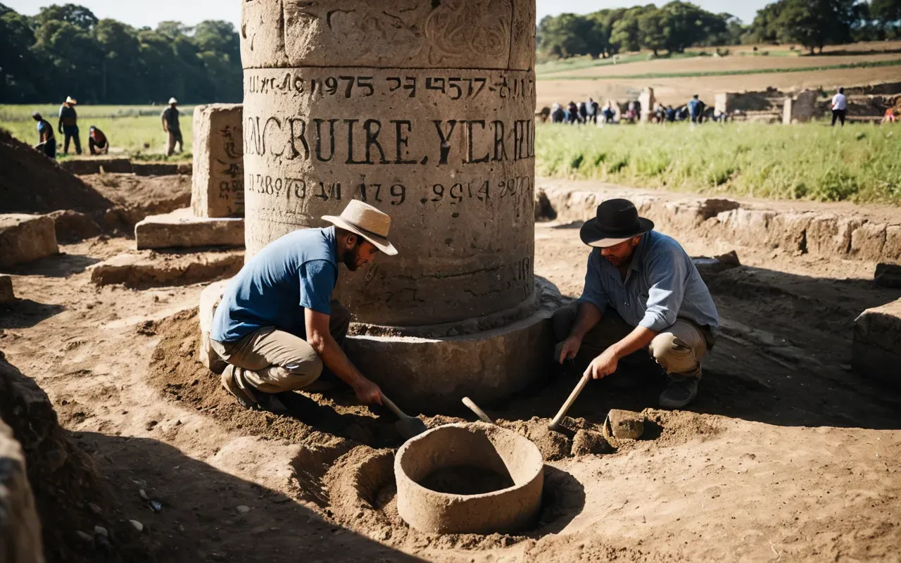
Only about 5% of the site has been dug up. There is still so much left to uncover. Archaeologists work carefully to preserve the structures. They use brushes and small tools to remove dirt layer by layer. New pillars are revealed slowly. Each season brings new surprises. Recent ground-penetrating radar surveys show hundreds more structures buried underground. The full scale of the site may be much larger than we think.
The work is slow and meticulous. It requires funding and international cooperation. Turkish archaeologists lead the project now. They have trained a whole new generation of experts. The site is protected by the government. It is a UNESCO World Heritage candidate. The importance of the location is recognized globally. It is not just a Turkish treasure. It is a human treasure.
Visiting The Site Yourself
If you plan to go, the best time is spring or autumn. Summers can be extremely hot. Temperatures often exceed 35 degrees Celsius. Winters are mild but rainy. The site is open daily from morning to evening. There is an entrance fee. It covers the cost of maintenance and security. You can hire a guide if you want more details. The museum nearby has excellent exhibits.
The museum displays replicas of the pillars and artifacts. It helps you understand the context. The real stones are left in the ground for preservation. Walking around the excavated areas feels surreal. You stand in the same circles that ancient people walked. The atmosphere is quiet and respectful. There are no crowds most of the time. You can feel the weight of history.
Getting There From The City
Şanlıurfa is a vibrant city. It has a rich history of its own. The name means
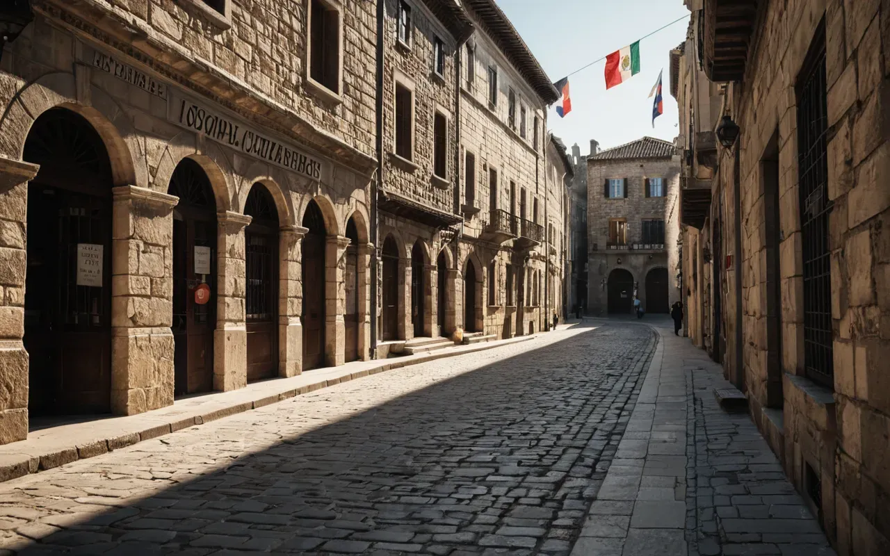
The city of glory. It is known for its cobbles streets and historic bathhouses. You can stay in a hotel there before heading to the site. Taxis are available. Some tour companies offer day trips. It is an easy excursion. The drive is short. The scenery is interesting. You pass through rural villages. Life moves slowly there. It is a peaceful contrast to the ancient mystery you are about to see.
The Mysteries That Remain
Why did they build it? We do not know for sure. Some think it was a temple. Others believe it was a gathering place for rituals. The carvings suggest a belief system. Animals were important. They may have been totems or spirits. The T-shaped pillars look like stylized humans. They have arms and belts carved into them. They may represent ancestors or gods. The meaning is lost to time.
Why did they stop? Around 8000 BCE, the site was deliberately buried. They filled the circles with dirt and rubble. It was a careful process. It took a lot of effort. Was it a closing ritual? Did the beliefs change? Did the climate shift force people to move? We may never know. The burial protected the stones. It kept them safe for thousands of years. That is a stroke of luck for us today.
The Connection To Karahan Tepe
Nearby, another site called Karahan Tepe is being explored. It is similar in design. It has T-shaped pillars and animal carvings. Some researchers think it is older than Göbekli Tepe. If that is true, the story gets even more complex. The region was clearly a hub of activity. Many sites are scattered across the hills. It was a landscape of stone circles. The builders had a shared culture. They communicated across distances.
The similarities are striking. The techniques are the same. The symbols are the same. It suggests a widespread network. People traveled between these sites. They shared ideas and practices. It was a cultural zone. The location of Göbekli Tepe was not random. It was part of a larger system. Understanding the whole region helps us understand the individual sites. The mystery is bigger than one hilltop.
Why It Matters To Us Now
This site changes our view of humanity. It shows that complex thought came first. Technology and farming followed. We are not just practical creatures. We are spiritual and symbolic. That drive to create meaning is ancient. It is part of our DNA. Göbekli Tepe proves that early humans had the capacity for large-scale cooperation. They could organize without kings or armies. They worked for a shared belief.
It reminds us that history is not linear. It is messy and surprising. We keep rewriting the story as we find new evidence. The location in Turkey is just one piece. There may be other sites waiting to be found. The ground hides many secrets. Every dig could change everything. That is what makes archaeology so exciting. We are still learning where we came from. And it turns out, we came from a place much older than we thought.
Frequently Asked Questions
Where exactly is Göbekli Tepe located?
Göbekli Tepe is located in southeastern Turkey, approximately 15 kilometers north of the city of Şanlıurfa. It sits on a hilltop in the Anatolian plateau. The site is easily accessible by road from the city center.
How old is the Göbekli Tepe site?
The oldest structures at Göbekli Tepe date back to approximately 9500 BCE, making them about 12,000 years old. This predates other known monumental structures by several millennia.
Who built the stone circles at Göbekli Tepe?
The site was built by Neolithic hunter-gatherers. These early humans had not yet developed agriculture, pottery, or metal tools. They organized large groups to construct the stone circles for ritual purposes.
Why was the site buried intentionally?
Archaeologists believe the site was deliberately filled with dirt and rubble around 8000 BCE. This act may have been a ritual closure, marking the end of its use. The burial preserved the structures for thousands of years.
Can visitors see the original stones today?
Yes, visitors can walk around the excavated stone circles. About 5% of the total site has been uncovered. The original T-shaped pillars are visible in the open-air museum area, protected by a roof structure.
For the full overview, see Göbeklitepe timeline.
Related in this series: Neolithic rituals at Gobeklitepe site, Göbelitepe builders identity.