Who Built Göbeklitepe? Debunking Myths About Neolithic Architects
Who Built Göbeklitepe? Debunking Myths About Neolithic Architects
You type 'göbeklitepe nerede' into your search bar. You expect a simple pin on a map. What you actually get is a mix of confusion, vague directions, and travel blogs that gloss over the real journey. I've noticed this pattern constantly. People assume the site is right next to Şanlıurfa city center. It isn't. The truth is a bit more complex, and honestly, that complexity is exactly why the site survived for twelve thousand years.
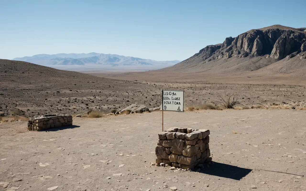
Let's get the basics straight first. Göbeklitepe sits on a hilltop in southeastern Turkey. The specific coordinates are roughly 37.2356° N, 38.9253° E. That puts it about 15 kilometers north of Şanlıurfa. Fifteen kilometers might sound close. But in this rugged terrain, distance is measured in effort, not just miles. The road winds through dry, rocky landscapes that feel timeless. It’s a drive that disconnects you from modern life almost instantly.
Why the Remote Location Matters More Than You Think
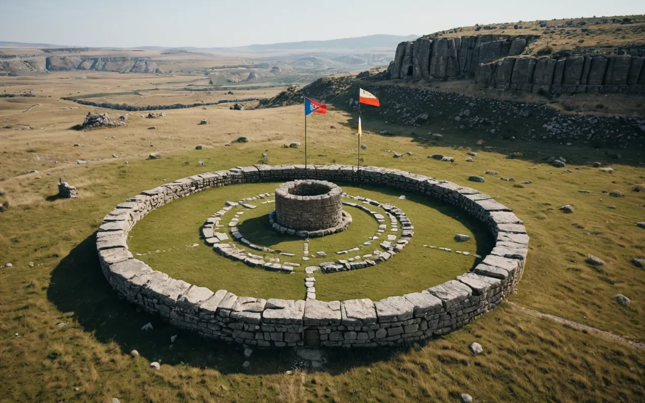
Here’s the thing most guides miss. The isolation wasn’t an accident. Early humans didn’t pick this spot because it was convenient. They picked it because it was visible. The hill dominates the surrounding plain. From miles away, you can see it. In a world without smartphones or GPS, a landmark like that was critical for navigation. It acted as a prehistoric beacon. Think about the ancient technologies involved in that choice. It required a deep understanding of landscape, visibility, and movement across vast distances.
And the geology plays a huge role. The hill is made of limestone. That same limestone provided the raw material for those massive T-shaped pillars. The builders didn’t haul stone from miles away. They quarried it right there. That’s a technological efficiency that surprises modern engineers. They maximized local resources. They minimized transport effort. It’s smart planning wrapped in stone. When you look at the site, you’re looking at a place where environment and ingenuity merged perfectly.
How to Actually Get There Without Getting Lost
So, you’re in Şanlıurfa. What do you do? Most tourists hop into a taxi and ask the driver to take them to the 'stone circle'. Drivers know the way, but they might not know the history. I recommend renting a car if you can. The freedom to stop along the way is worth it. The route passes through small villages that feel untouched by time. You’ll see farmers working fields that have been cultivated for centuries. It grounds the ancient site in living culture.
The drive takes about 20 to 30 minutes. The road is paved, but it’s not a highway. It’s narrow. It curves. You need to pay attention. Once you arrive, you park at a small lot near the entrance. From there, you walk up a gentle slope. The site is protected by a large tent-like structure in the main excavation area. This protects the stones from sun and rain. It also means you get close to the pillars without damaging them. It’s a smart modern solution to an ancient problem.
The Hidden Tech Behind the Pillars
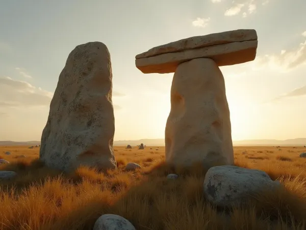
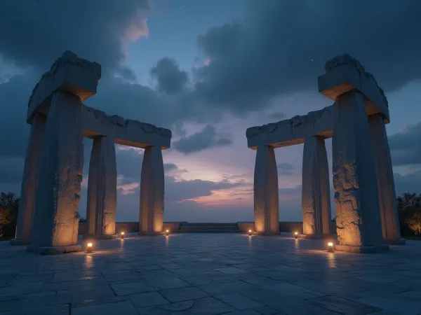
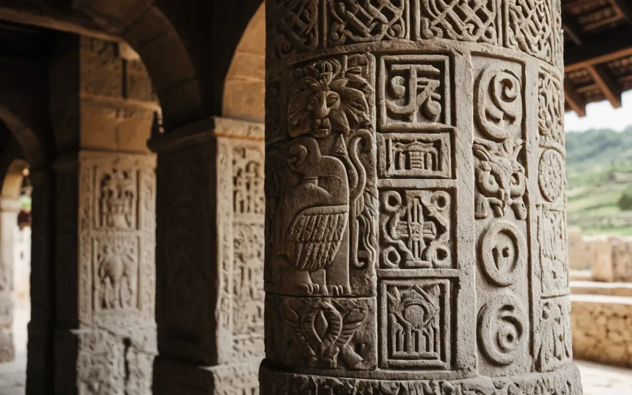
Let’s talk about the pillars themselves. They aren’t just big rocks. They’re engineering marvels. Some weigh up to 16 tons. How did hunter-gatherers move those? We don’t have written records. But we have the evidence. The quarries show clear tool marks. They used stone hammers. They used fire-setting techniques to crack the rock. That’s advanced knowledge of material properties. It’s ancient technology in action. The precision of the carvings adds another layer. Those animal figures aren’t random. They’re deliberate. They suggest a shared symbolic language across a wide region.
I’ve stood next to those pillars. The scale is humbling. You feel small. But you also feel connected. The builders were like you. They used their hands. They used their minds. They didn’t have cranes. They had ropes, levers, and community effort. That’s the real secret. The technology wasn’t just about stone. It was about social organization. Moving those pillars required coordination. It required planning. It required leadership. That’s a soft technology that often gets overlooked. But it’s just as important as the hammers and chisels.
What the Location Reveals About Early Human Beliefs
The location tells us more than just engineering. It tells us about belief. Why build on a hill? Why not in a valley? Valleys are easier to farm. Valleys have water. Hills are exposed. Hills are windy. Building up there was a choice. It signals priority. It says, 'This place matters more than comfort.' That’s a spiritual statement. The remote spot became a gathering place. People traveled from far away to visit it. They left offerings. They buried the site deliberately at the end. That burial was a final act of technology. They filled it with waste and stone. They sealed it. They protected it for millennia.
Think about the burial. Most sites are abandoned or destroyed. Göbeklitepe was buried with care. That’s rare. It suggests a ritual purpose. It suggests a closure. The builders knew they were done. They didn’t want it disturbed. That intentionality is profound. It shows a level of foresight that challenges our assumptions about prehistoric minds. We often think of ancient people as reactive. They weren’t. They were proactive. They planned for the future. They planned for the end. That’s a sophisticated mindset.
Connecting Göbeklitepe to Broader Ancient Networks
Göbeklitepe doesn’t exist in a vacuum. It’s part of a larger story. Nearby sites like Karahan Tepe and Nevalı Çori show similar features. They share architectural styles. They share symbolic motifs. This suggests a cultural network. Information traveled. Ideas spread. The technology of building circles, carving animals, and organizing labor moved across the region. It wasn’t isolated genius. It was shared knowledge. When you visit Göbeklitepe, you’re seeing a node in a vast web of early human connection. That connection is as important as the stones themselves.
The remote location helped preserve this network’s legacy. Because it was buried, it stayed intact. Because it was on a hill, it survived floods. Because it was away from cities, it escaped urban expansion. The geography worked in its favor. It’s a reminder that landscape shapes history. We can’t separate the site from its setting. The hill, the limestone, the visibility, the isolation — all of it contributed to what we see today. It’s a perfect storm of natural and human factors.
Practical Tips for Visiting the Site
If you’re planning a trip, timing matters. Summer in Şanlıurfa is hot. Really hot. Temperatures can exceed 40°C. I suggest visiting early in the morning. The light is better. The crowds are smaller. The air is cooler. You’ll have a better experience. Also, wear sturdy shoes. The ground is uneven. The paths are dusty. Comfort matters when you’re standing for hours. Bring water. Bring a hat. The sun is relentless.
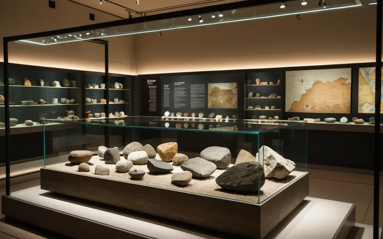
Don’t rush through. The site is smaller than you might expect. But the impact is huge. Take your time. Look at the carvings. Notice the details. The foxes, the birds, the snakes — they’re everywhere. They’re not just decorations. They’re symbols. They tell a story. Read the signs. Listen to the audio guide if you can. It adds context. It brings the stones to life. The museum nearby has artifacts that show daily life. It balances the monumental with the mundane. That balance is key to understanding the full picture.
Why Your Search for 'Göbeklitepe Nerede' Matters
Your question isn’t just about geography. It’s about access. It’s about truth. Too many sources oversimplify. They treat it like a standard tourist stop. It’s not. It’s a revelation. Finding the exact location is the first step to respecting its significance. Once you know where it is, you understand the journey. You understand the effort. You understand why it was chosen. That context transforms the visit. It turns a sightseeing trip into a historical pilgrimage. The remote hilltop becomes a teacher. The stones become voices.
I’ve seen people leave the site changed. They don’t have words. They just stare. They feel the weight of time. They feel the presence of those ancient builders. That’s the power of place. It’s not just about the past. It’s about the now. It’s about standing where they stood. It’s about realizing how far we’ve come, and how much we’ve forgotten. The location anchors that experience. Without the hill, without the isolation, the magic fades. So yes, 'göbeklitepe nerede' is a vital question. The answer shapes everything.
Frequently Asked Questions
How far is Göbeklitepe from Şanlıurfa city center?
Göbeklitepe is located approximately 15 kilometers north of Şanlıurfa city center. The drive takes about 20 to 30 minutes by car, depending on traffic and road conditions. The route is paved but winds through rural terrain, making it a scenic but straightforward journey for visitors coming from the main city.
Why is Göbeklitepe located on a hill instead of in a valley?
The hilltop location was chosen for visibility and geological advantage. The elevated position made the site a visible landmark across the region, acting as a prehistoric beacon. Additionally, the hill is composed of limestone, which provided the raw material for the massive T-shaped pillars, reducing the need to transport stone from distant quarries.
What ancient technologies were used to build Göbeklitepe?
Builders used stone hammers, fire-setting techniques to crack rock, and likely ropes and levers to move multi-ton pillars. The technology also included sophisticated social organization and labor coordination. Tool marks in the quarries reveal precise knowledge of material properties and engineering principles, demonstrating advanced prehistoric innovation without metal tools or wheels.
Is it safe to visit Göbeklitepe alone?
Yes, the site is well-maintained and secure. It is located in a rural area but is a managed archaeological park with clear signage and facilities. Visitors can explore safely, though hiring a local guide or joining a tour is recommended for deeper historical context. Always carry water and wear sun protection due to the hot climate.
When is the best time of year to visit?
Spring (April to June) and autumn (September to October) offer the most comfortable weather. Summers are extremely hot, often exceeding 40°C, while winters can be cold and rainy. Early morning visits are recommended year-round to avoid heat and crowds, ensuring a more peaceful and detailed exploration of the stone circles.
For the full overview, see ancient Göbeklitepe origins.
Related in this series: Göbeklitepe excavation history.