The land bridge that erased a continent and rewrote human history
The Coast That No Longer Exists
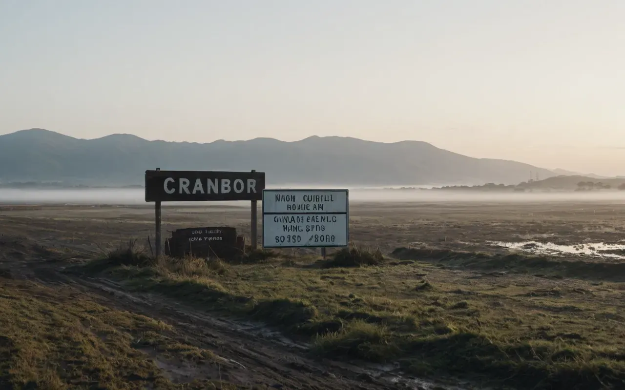
Picture this: you're trekking across a wide, muddy plain. There's no ocean anywhere near you. The ground feels solid under your boots.
Now imagine that same plain swallowed by hundreds of meters of water. The land just disappears. Gone.
That's exactly what happened around Ayvalık during the Pleistocene era. And back then, this place wasn't just any landscape—it was a vital land bridge for early humans.
Most history books tell us our ancestors reached Europe through the Balkans. That's the standard story we all learned in school.
But a new study suggests that story is incomplete. Honestly, it might be significantly wrong about the main route.
What The Team Actually Found In The Mud
Here's the setup: a fully female team of archaeologists from Turkey spent two weeks in June 2022 surveying the area. They weren't digging deep pits or trenches.
Instead, they walked across the ground. They studied what erosion and weathering had exposed. It's slow, painstaking work—the kind that tests your patience.
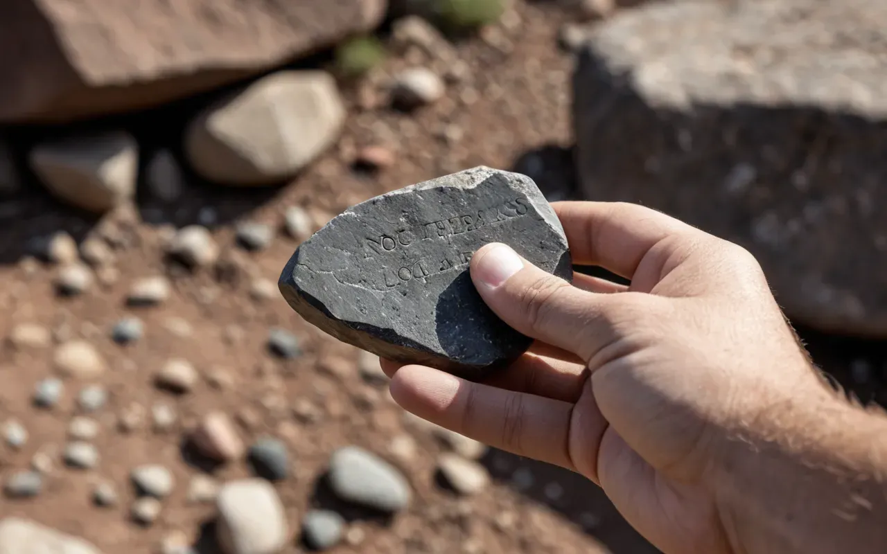
Their reward? 138 lithic artifacts spread across ten different sites. And no, these weren't random rocks.
Among them were Levallois-style flakes and handaxes. These are the iconic tools of the Middle Paleolithic period, the kind you read about in textbooks.
Dr. Göknur Karahan described holding those first tools as an emotional moment. The team had never documented such finds in this specific spot before. Ever.
And that's telling. The presence of these high-quality tools proves people actually lived here. They weren't just passing through on their way somewhere else.
Why The Mud Was Both A Barrier And A Preserver
Now, the region is covered in widespread muddy deposits. That usually makes it a nightmare to find old bones or tools.
But here's the twist: the mud also protected certain raw materials. The team identified high-quality flint and chalcedony in multiple locations across the area.
That suggests that even with active geomorphological processes, the region kept its valuable clues. The geology is complicated, sure. But it's also remarkably revealing.
The Sea Level Drop That Changed Everything
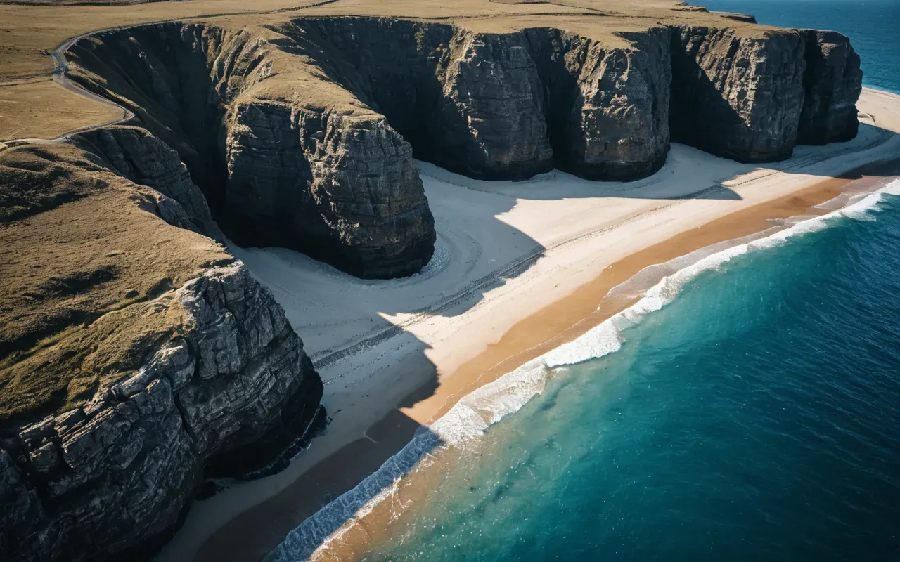
Let's put this in perspective. During the Ice Age, sea levels dropped by more than 100 meters. That's not a small dip—it's a massive change in global geography.
Today's islands and peninsulas were once part of a single, continuous landmass. They formed the interior of an expansive terrestrial environment we can barely imagine now.
This created a natural bridge between Anatolia and Europe. Early humans could simply walk across it. No boats, no rafts, no problem.
Professor Kadriye Özçelik emphasized that these paleogeographic reconstructions are crucial. They help us understand how hominins dispersed through the region.
The tools found right along the present-day coastline mark where people actually lived. They were standing on the edge of this lost world.
Challenging The Balkan Corridor Narrative
For a long time, researchers assumed Homo sapiens reached Europe primarily via the Balkans. It's the dominant view in many textbooks and academic papers.
But this new discovery points to a different possibility. It suggests the northeastern Aegean coast was another vital route—maybe even the primary one.
The research highlights that Ayvalık was a dynamic site for interaction and exchange. It facilitated movement between continents in ways we never suspected.
Now, this doesn't mean the Balkans theory was wrong. Not at all. It means our map of human movement is far more complex than we gave it credit for.
We need to look at multiple corridors. We can't rely on a single path for such a massive migration event.
Why This Matters Beyond The Archaeology Trenches
This finding reshapes our understanding of early human adaptation. It shows they were highly mobile and innovative in ways we're only beginning to grasp.
The team notes that the tools reflect a diversified toolkit. That indicates sophisticated planning and resource use, not just survival on a whim.
It also shines a light on coastal environments. We've spent so much time focused on inland caves and sites that we've overlooked the shorelines.
But coasts were likely key hubs for trade and movement. They offered resources and transit routes across water, connecting communities in unexpected ways.
This discovery adds a new page to the story of human dispersal. And honestly, it opens up exciting possibilities for future exploration.
The Role Of A Fully Female Research Team
It's also worth mentioning that this team was fully female. They're experts from Hacettepe University and Ankara University, and they're making history.
Dr. Hande Bulut added that the results underline Ayvalık's potential as a long-term hominin habitat. Their work is genuinely groundbreaking.
Their discovery challenges previous assumptions about the region. It proves that new frontiers are still emerging, even in areas we thought we understood.
What Comes Next For The Ayvalık Region
The current findings are preliminary, sure. But they're exciting. The team recommends a multidisciplinary approach for future work.
That includes absolute dating and stratigraphic excavation. These methods are essential to clarify the temporal depth of the assemblage.
Paleoenvironmental reconstruction is also needed. This will help us understand the climate and vegetation of that time period.
The region between the North Aegean and the mainland may still hold valuable clues. Despite active processes, the story is far from over.
We're only beginning to understand how early humans adapted. This discovery is just the start of a new chapter in that story.
If you're interested in how other recent finds have challenged our understanding of the past, consider looking at tiny antelope teeth that rewrote survival history. These small details often tell the biggest stories.