Your ancient civilizations map is missing the oldest chapter
The blank spot on your world history chart
Grab a standard atlas from any high school library. Flip to the page on early human settlements. You will see Mesopotamia glowing in gold along two rivers. Egypt sits comfortably below, defined by its delta.
Now look north and west. There is a gap. A massive, unexplained void where the first organized communities should be. We have been taught that society started with agriculture.
That narrative is wrong. Or at least, it is dangerously incomplete. The oldest known monumental architecture does not sit by a river valley. It sits on a dry limestone ridge in southeastern Anatolia.
This is Göbeklitepe. And it changes the map entirely.
Why the river valley theory failed us
For over a century, archaeologists clung to the idea that water created culture. If you had reliable irrigation, you could store grain. Stored grain meant surplus food.
Surplus food allowed people to specialize. You no longer needed everyone to hunt. Some could become priests, others craftsmen, and a few rulers. This linear progression seemed logical.
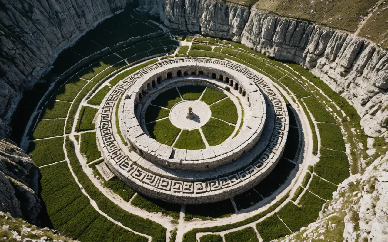
But logic is not archaeology. We found massive stone circles at Göbeklitepe that predate the first wheat fields by thousands of years. These structures required organized labor.
Who did the work? If no one was farming yet, who fed them? The answer suggests a completely different engine for social complexity. It was belief.
The hill that broke the timeline
Imagine standing on a flat ridge in the late Pleistocene. The world is cold and harsh. Ice sheets are retreating to the north. You are part of a nomadic group.
You carry simple stone tools. You hunt gazelles and aurochs. Life is immediate and physical. Then you see the stones rising from the dirt.
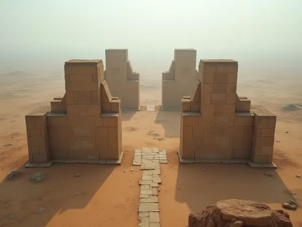
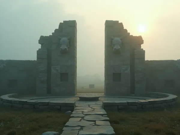
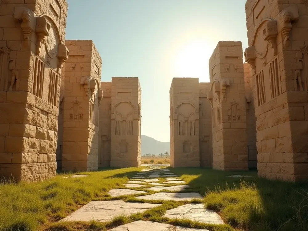
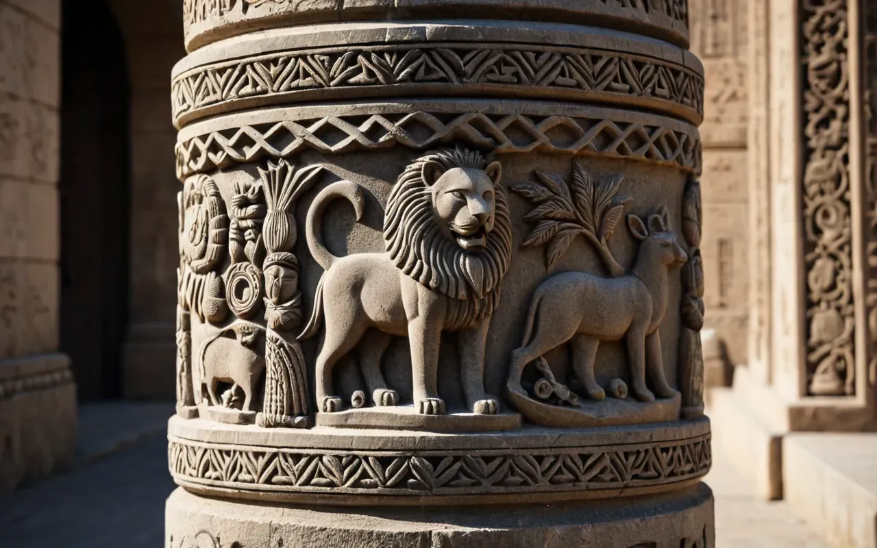
These are not random rocks. They are T-shaped pillars carved with animal reliefs. Each weighs between five and ten tons. They were hauled up the hill without wheels.
The engineering required to move these blocks defies our understanding of pre-agricultural capability. It implies a social structure we have never properly mapped.
The labor problem of the early builders
To raise a single pillar requires dozens of people working in coordination. They need rope made from plant fibers. They need levers and sledges.
They also need food for the duration of the project. If these people were nomadic, how did they sustain such a massive effort? The answer likely involves seasonal gathering.
Wild grains were abundant in this region. People could gather enough calories to support a construction workforce for weeks or months at a time.
Reading the map through new eyes
When we look at an ancient civilizations map now, we see a network of interaction. Göbeklitepe was not isolated. It was a hub.
People traveled from hundreds of kilometers away to visit this site. They brought obsidian from distant volcanic sources. This indicates long-distance trade.
Trade requires trust. Trust requires shared symbols and rituals. The carvings on the pillars likely served as a common language for groups who did not share spoken dialects.
The role of ritual in early society
We often assume religion is a byproduct of settled life. But Göbeklitepe suggests the opposite. Ritual may have been the catalyst for settlement.
If you want to understand why people gathered here, look at the bones. Hundreds of animal remains were processed on site. This was a feasting ground.
Feasts create bonds. They reinforce hierarchy and shared identity. The site acted as a social glue for scattered groups moving across the landscape.
What we miss when we ignore this site
Most educational materials treat the Neolithic as a simple transition from hunter to farmer. This flattens human history into a binary choice.
In reality, the transition was messy and circular. People experimented with planting seeds while still hunting. They built monuments before they had permanent homes.
This nuance is missing from most maps. We see the endpoints and miss the process. The map shows cities; it does not show the years of trial and error.
The modern perspective on prehistoric maps
Digital tools are changing how we visualize these connections. High resolution satellite imagery reveals paths and structures invisible to the naked eye.
Researchers can now model movement patterns based on terrain and water sources. This data shows that the region was a natural corridor for migration.
Göbeklitepe sits at the intersection of these corridors. It was a place people passed through and then stayed because it held meaning.