Where Exactly Is Göbeklitepe and Why Most Travel Guides Get It Wrong
The Real Coordinates of a 12,000-Year-Old Mystery
You type it into the search bar. You get a map. You think you know where to go. But here's the thing. Most people get lost before they even hit the gravel road leading to the site. It's not about GPS coordinates. It's about the landscape itself. Göbeklitepe sits on the southeastern edge of the Anatolian plateau. Specifically, it's about 15 kilometers northeast of Şanlıurfa. That city used to be called Urfa. The locals still use that name. It carries weight here. When people ask where Göbeklitepe is, they usually want a pin on a map. They don't want the story of how the land shapes the discovery. So let's start with the truth. This isn't some remote island. It's not in a forbidden zone. It's right in the middle of a living, breathing region that changes with the seasons. In early summer, the hills turn gold. By late August, the heat is brutal. You'll feel it. You'll sweat. And you'll wonder why anyone built a temple here in the first place.
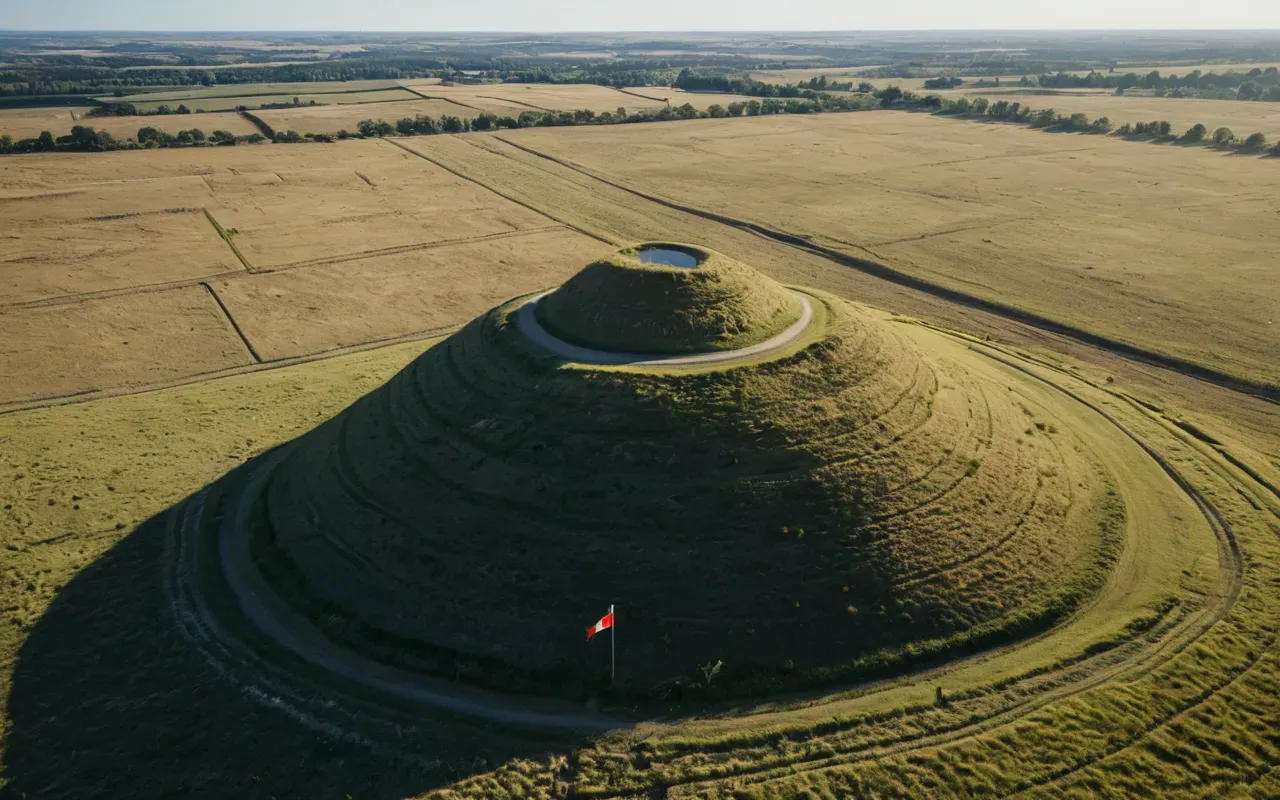
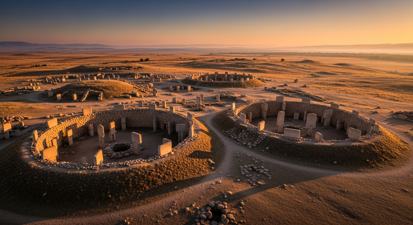
The site itself is a tell. That means it's an artificial mound created by layers of human activity over millennia. But Göbeklitepe is different. It's not a settlement mound. It's a sanctuary mound. The stones were buried intentionally. Not by time. By choice. That detail changes everything. When you stand at the top of that hill today, you're looking at what was hidden. The structures were covered in the 8th millennium BCE. Why? We don't know for sure. But the location wasn't accidental. The hill overlooks a wide valley. It sits near ancient water sources. And it's positioned exactly between two major Neolithic clusters. That's not luck. That's strategy. And that's why the question of where Göbeklitepe is matters more than you think. The answer isn't just a dot on a map. It's a statement about how early humans organized space. They chose this spot for a reason. And we're only now beginning to understand why.
Getting There Is Harder Than You Think
Look, the brochures will tell you it's easy. Take a bus from Şanlıurfa. Get a taxi. Walk up the hill. Simple. But here's the reality. The road to the site is unpaved. It's steep. It's dusty. And if you're driving yourself, you'll need a high-clearance vehicle. Most rental cars in the region are sedans. They'll scrape. They'll stall. They'll leave you stranded. So what do locals do? They hire a guide. Or they take a shared van from the city center. It costs around 200 Turkish lira per person. That's roughly 7 dollars. The ride takes 30 minutes. But it feels longer. The landscape shifts. The trees disappear. The ground hardens. And then you see it. A small sign. A parking lot. A staircase. That's it. No grand entrance. No velvet rope. Just a hill. And that's the first test. Most tourists underestimate the physical effort. It's a 15-minute walk up a steep incline. In July, the temperature hits 45 degrees Celsius. You'll be soaked in sweat before you reach the top. And that's okay. It's part of the experience. The site isn't comfortable. It never was. And that's exactly why it survived.
There's no public transport directly to the site. You have to arrange it. Most visitors come from Şanlıurfa. Some fly into Gaziantep and drive north. That's a 2-hour trip. But the roads are winding. And the fuel stations are sparse. You need to plan ahead. I've seen people get stranded because they didn't fill up in the city. Don't be that person. Fill up. Bring water. Bring sun protection. And bring cash. The entrance fee is around 100 Turkish lira. The gift shop takes cards. The water station doesn't. Small details matter. And they're rarely mentioned in the glossy travel magazines. They focus on the stones. They ignore the logistics. But the logistics are what make the visit real. You don't just see Göbeklitepe. You earn it. And that's the point. The location wasn't chosen for convenience. It was chosen for meaning. And meaning requires effort. So pack light. Walk slow. And respect the ground under your feet. It's been holding secrets for 12,000 years. It can wait a few more minutes.
Why the Map Lies to You
Here's the thing. The official map shows one site. The truth is bigger. Göbeklitepe is just one piece of a much larger network. To the east, you have Karahantepe. To the west, you have Nevalı Çori. These aren't random dots. They're connected. And the map doesn't show that. It shows boundaries. It shows fences. It shows ticket booths. But the ancient people didn't think in lines. They thought in landscapes. They moved between sites. They traded. They gathered. They worshipped. And the location of Göbeklitepe makes sense only when you see it as part of a system. That's why I always tell people to visit more than one site. If you only go to Göbeklitepe, you're seeing a fraction of the story. The real mystery isn't the stones. It's the space between them. And that space is where the magic happened. So when someone asks where Göbeklitepe is, I don't just give coordinates. I give context. Because the answer isn't a place. It's a pattern. And patterns don't show up on GPS.
Let me break it down. Karahantepe is 40 kilometers away. It has similar T-shaped pillars. But it's less crowded. It's quieter. And it's easier to reach. Nevalı Çori is underwater now. The Atatürk Dam flooded it. But the artifacts were moved. They're in museums. So you can still see the carvings. You just can't stand where they stood. That's a problem. It disconnects the object from the place. And Göbeklitepe? It's the only one still standing in its original context. That's rare. That's precious. And it's why the location matters so much. You're not just visiting a ruin. You're visiting a moment frozen in time. The stones are still where they were placed. The earth still holds the layers. And the wind still blows across the hill. That's not a museum exhibit. That's a living archive. And it's only accessible if you know where to look. So forget the tourist traps. Forget the crowded buses. Find the real path. It's narrower. It's steeper. But it's worth it. Because once you're there, you'll understand why no map can ever do it justice.
The Hidden Logistics of Visiting
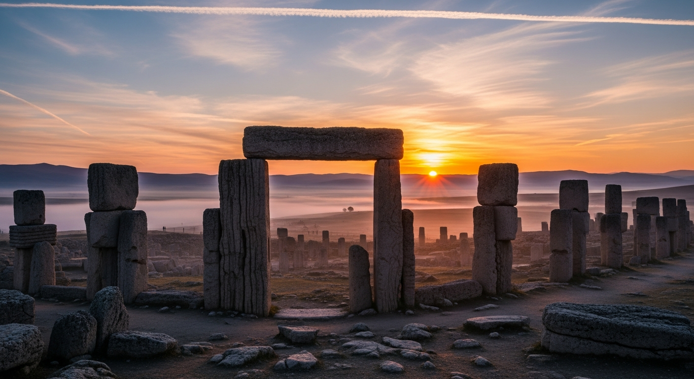
So you've arrived. You've paid the fee. You've walked up the hill. Now what? Most guides will tell you to take photos. To read the plaques. To move on. But that's not how it works. The site is small. You can walk the entire perimeter in 20 minutes. The real experience happens when you stop. When you sit. When you listen. The wind changes here. The silence is heavy. And the stones feel closer than they look. That's the trick. The map says one thing. The ground says another. And the ground is always right. I've spent hours just sitting near Pillar 43. It's the fox carving. It's detailed. It's sharp. It's untouched by erosion. And it's facing east. Why? We don't know. But the orientation matters. The sun rises there every morning. And for 12,000 years, it has. That's not a coincidence. That's design. And design requires intention. So when you visit, don't rush. Don't check your watch. Don't count the pillars. Feel the space. Let it sink in. Because the location isn't just a destination. It's a mirror. And it reflects back whatever you bring to it. Bring patience. Bring curiosity. Bring silence. And you'll leave with more than photos.
There's no hotel on-site. There's no restaurant. There's no café. The nearest town is Şanlıurfa. It's a 15-kilometer drive back. And the roads are dark at night. So time your visit. Come early. Leave late. The site opens at 8 AM. It closes at 6 PM. But the best light is between 6 and 7 AM. The shadows are long. The colors are soft. The crowds are gone. And you can hear the birds. They've been singing here longer than we've been walking. That's the beauty of the location. It's isolated. It's quiet. It's untouched. And it doesn't care about your schedule. So adjust yours. Wake up early. Drink coffee. Walk slow. And let the site reveal itself. It won't shout. It won't advertise. It will wait. And if you're still, you'll hear it. Not in words. In silence. In weight. In time. That's the real secret of Göbeklitepe. It's not where it is. It's how it makes you feel. And no map can measure that.
What the Stones Are Trying to Tell Us
Here's the thing. The stones aren't just decorations. They're messages. And the location is part of the message. Pillar 39 is the vulture. It's 5.5 meters tall. It's carved with wings spread. It's facing south. Why? We don't know. But the direction matters. The south is open. It's exposed. It's vulnerable. And that's where the ancestors placed the bird. Maybe it was a warning. Maybe it was a promise. Maybe it was a prayer. We'll never know. But the placement is deliberate. And that's what makes the site so powerful. It's not random. It's not accidental. It's structured. And structure requires thought. So when people ask where Göbeklitepe is, they're really asking why it's there. And the answer is simple. It's where they wanted it to be. Not where we expected it to be. Not where it's convenient. But where it fits. In the landscape. In the sky. In the memory of the earth. And that's why the location is sacred. Not because of the stones. But because of the choice. And choices echo. They travel. They survive. And they wait for someone to listen.
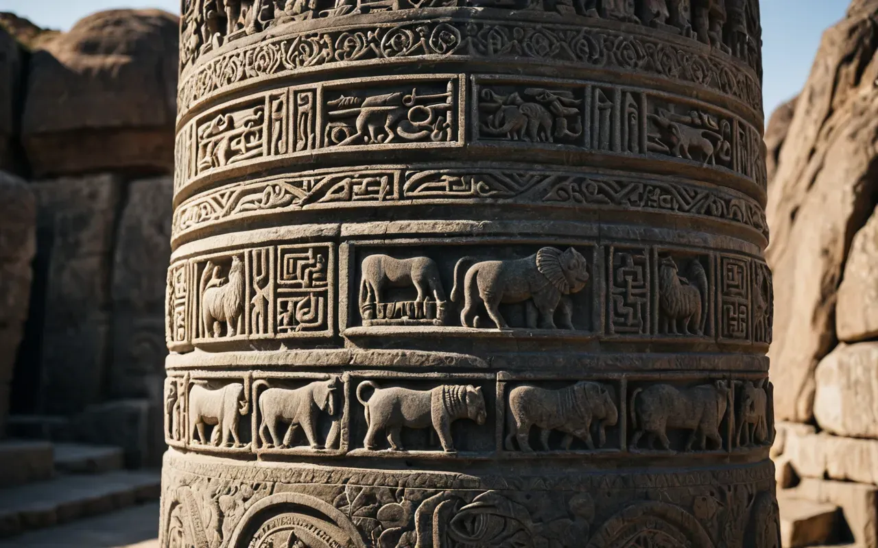
I've read the papers. I've talked to the archaeologists. I've walked the trenches. And I can tell you this. The location wasn't chosen for beauty. It was chosen for function. The hill is stable. The soil is dry. The water is nearby. The view is clear. And the climate is harsh. That's a recipe for preservation. Not comfort. Not convenience. But survival. And that's what Göbeklitepe is. A survival machine. Built by people who knew how to read the land. Who knew how to place stones. Who knew how to bury them. And who knew how to hide them from time. That's not primitive. That's advanced. And it's why the site still stands. While empires fall. While cities burn. While monuments crumble. This hill remains. Not because it's special. But because it's smart. And that's the lesson. The location isn't a mystery. It's a strategy. And strategy wins. Always. So next time you ask where Göbeklitepe is, remember. It's not just a place. It's a plan. And plans outlast people. Every time.
Frequently Asked Questions
Where exactly is Göbeklitepe located in Turkey?
Göbeklitepe is located 15 kilometers northeast of Şanlıurfa in southeastern Turkey. The site sits on a tell overlooking a wide valley in the Anatolian plateau. It is accessible by road from the city center, though the final approach is unpaved and steep. Visitors typically hire a taxi or join a guided tour from Şanlıurfa.
How do I get to Göbeklitepe from Şanlıurfa?
Take a taxi or shared van from Şanlıurfa city center. The ride takes about 30 minutes and costs around 200 Turkish lira per person. The final approach requires a short steep walk up a gravel path. High-clearance vehicles are recommended if driving yourself due to the unpaved road conditions.
What is the best time of day to visit the site?
Early morning between 6 and 7 AM offers the best light and fewest crowds. The site opens at 8 AM and closes at 6 PM. Summer temperatures can exceed 45 degrees Celsius, so avoid midday visits. Spring and autumn provide milder weather and clearer skies for photography and exploration.
Is Göbeklitepe safe to visit alone?
Yes, the site is well-maintained and monitored by security staff. The path is marked and lit during daylight hours. However, the heat and steep incline require physical preparation. Bring water, sun protection, and sturdy shoes. Solo visitors should plan their return transport in advance as there are no services on-site.
Can I combine a visit with other nearby archaeological sites?
Yes, Karahantepe is 40 kilometers to the east and offers similar Neolithic structures with fewer tourists. Nevalı Çori artifacts are housed in museums due to flooding. A multi-site trip requires a full day and private transport. Plan routes carefully and confirm opening hours before departing.