Why a single laser beam is quietly erasing our textbooks on ancient history
The forest was lying to us for centuries
For a long time, we assumed the jungle kept its secrets because it was wild. Dense trees meant no people could survive in there — or so we thought. That assumption is crumbling now, under the weight of laser data.
Picture flying over a thick canopy that looks completely uniform from above. Then picture peeling away every leaf and branch to reveal a city underneath. That's exactly what LiDAR does for archaeologists today.
The technology beams thousands of laser pulses per second from aircraft. It cuts through the vegetation and builds a precise three-dimensional map of the ground. The results are often shocking — human structures showing up where nobody expected them.
A massive Maya city found deep in the Yucatan reserve
About forty miles inside a dense ecological reserve in Mexico, researchers found a massive site. They named it Ocomtun, and it was clearly a center of political power. Tall pyramids. Wide plazas. The whole package.
The city spanned roughly one hundred twenty three acres of dense jungle. Archaeologists dated the structures to between six and eight centuries after Christ. A society that organized and wealthy doesn't build like that by accident.
I find it fascinating how this site challenges old ideas about population decline. We used to think the Maya disappeared through internal collapse. But now we see they built massive infrastructure long before that period ended.
The world's first superhighway system hidden in Guatemala
In northern Guatemala, lasers revealed nearly one thousand archaeological sites. Over four hundred cities and towns, spread across six hundred fifty square miles of land.
The most striking feature was a network of elevated causeways. These roads stretched one hundred ten miles in total and let people travel over wetlands. They connected settlements in a way that looks almost like modern infrastructure.
Richard Hansen called this the world's first superhighway system. Bold claim. But the data backs it up — these roads show a level of planning that rivals modern engineering projects.
This changes how we think about prehistoric logistics. Not scattered villages. A connected regional society with shared trade routes and communication networks.
Hundreds of ceremonial sites linking two ancient cultures
In Mexico, researchers used lasers to find nearly five hundred old ceremonial complexes. These sites were spread across a huge area in the states of Tabasco and Veracruz.
The structures were between two thousand and three thousand years old. They show clear similarities, which suggests one culture influenced the other directly over time.
Takeshi Inomata said studying such a large area was unthinkable just years ago. This finding helps bridge the gap between two major Mesoamerican civilizations and their shared history.
Sixty thousand structures hidden in the Guatemalan jungle
One of the most impressive finds came from mapping the Peten region. Researchers discovered over sixty thousand long lost roads and foundations for houses.
These structures date back to the late Classic period, between six hundred fifty and eight hundred CE. The density suggests a highly organized urban environment.
Researchers estimate that up to eleven million people could have lived in these interconnected cities. That number alone rewrites our understanding of prehistoric population density.
Amazon earthworks that defy the wilderness myth
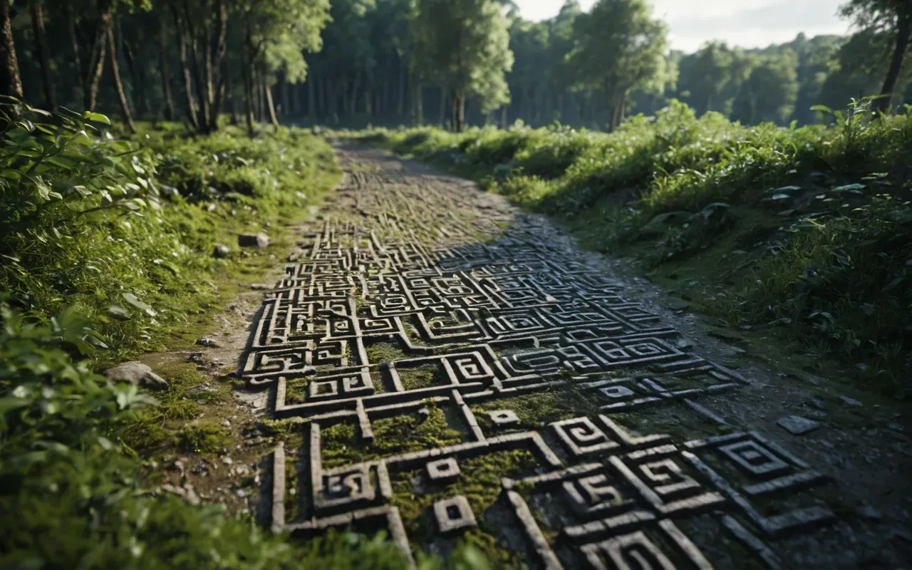
In Brazil's Mato Grosso region, lasers revealed eighty one earthworks, including fortified villages. These structures were built on mounds and connected by roads.
Some of these geoglyphs were up to a quarter of a mile across. You don't move that much earth without a society capable of large scale projects.
Archaeologists believe these sites supported a complex civilization with up to one million people. This existed between the years twelve fifty and fifteen hundred CE.
This is a huge deal because it proves the Amazon was not just empty wilderness. It was home to sophisticated societies that managed their land sustainably for centuries.
A hidden network in the Bolivian Amazon basin
Lasers also revealed twenty six Indigenous settlement sites in what is now Bolivia. Eleven of these were completely new discoveries for science.
The Casarabe Culture created canals and stepped platform buildings in this region. They also built seventy two foot conical pyramids that dominated the landscape.
These settlements occupied an area of roughly one thousand seven hundred square miles. They thrived between five hundred and fourteen hundred CE.
Researchers think severe droughts may have caused this culture to leave the area. Which highlights how climate can shape human history in dramatic ways.
Why this changes more than you think about history
These discoveries show that ancient people were far more complex than we gave them credit for. They built cities, managed resources, and connected regions over vast distances.
If you are interested in how we piece together the past, I recommend looking at the ancient civilizations map everyone gets wrong. It offers a great perspective on these kinds of reevaluations.
The technology is also changing how we view environmental history. It shows that humans can live in harmony with dense forests without destroying them.
We used to think civilization required clearing land and building near rivers. But these finds prove that complex societies could thrive in the heart of the jungle.
The quiet revolution happening right now in archaeology
LiDAR is not just a tool. It is changing how we define history — proving that the past was much more populated and organized than we ever imagined.
These six discoveries are just the beginning. As we apply lasers to more regions, we will likely find even more hidden societies waiting to be revealed.
The next time you think of ancient history, remember that the forest was hiding a lot more than just animals. It was hiding entire civilizations.