Brian Lynch
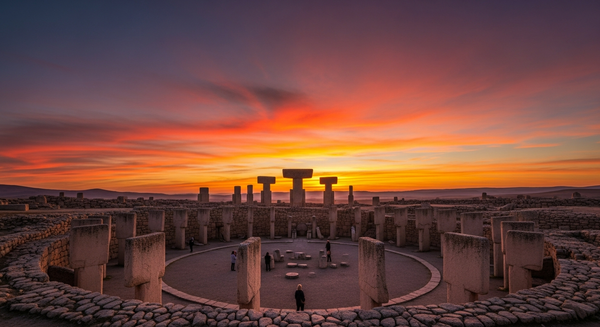
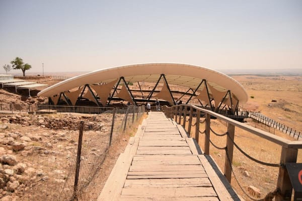
Geospatial specialist with an MSc in Archaeological Science from the University of Bradford. Mapped the entire Göbekli Tepe valley using LiDAR and drone photogrammetry, identifying previously unknown settlement footprints. Certified in ESRI ArcGIS Pro for Heritage Analysis. Focuses on the spatial relationship between ritual enclosures and distant habitation zones. Writes to correct misconceptions about site isolation, showing how the plateau fits into a broader regional network.